HGV movements and haulage routing
Highways officers and parish councils read trip generation, access geometry, and routing past residential edges. A yard and entrance still at true scale answers both tests in one frame.
Logistics planning CGI · UK
StratumCGI produces planning-grade CGI evidence for logistics development applications, giving officers, consultees, and committee members a fixed basis for assessing massing, HGV movements, and grey belt visual harm. StratumCGI produces each set against the fixed determination date. Send drawings and your council date for a deadline check.
A logistics application is decided using operational evidence. That evidence includes eaves height, haulage routing, night-time lighting, and screening maturity. The Logistics Planning CGI Pack answers those tests with stills built from the same model as the submission drawings.
A logistics development moves through pre-application, outline, and detailed stages before consultation and committee, and each stage reads a different drawing. Pre-app officers test massing and siting, consultees test haulage and screening, and committee members test the contested edges within minutes. The planning CGI pack answers each stage with stills built from one model tied to the application drawings.
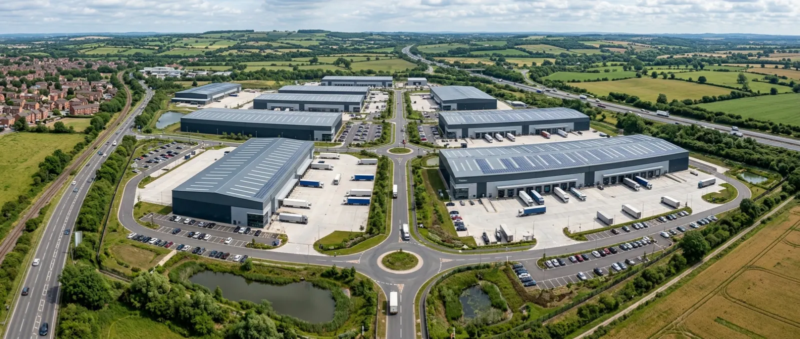
The aerial context still records unit massing, yard layout, and neighbouring land in one officer-readable frame.
Big-box logistics units now run to eaves heights of 15 m and above, and at that scale massing is the first test an officer applies. A still that understates eaves height or footprint fails the same check the parameter plans will face, so the pack models ridge and eaves from the submitted sections, not from an assumed profile.
The table maps each planning stage to the deliverable that stage reads, so the pack is commissioned against the decision sequence rather than a generic image count.
| Planning stage | Deliverable | Primary reader |
|---|---|---|
| Pre-application | Massing stills and aerial context views | Planning officer at the advice meeting |
| Outline application | Parameter-plan massing views and site context stills | Case officer and consultees |
| Detailed application | Planning stills, service yard and entrance views, material-readable elevations in context | Validation and case officer review |
| Public consultation | Consultation boards and neighbour-facing approach stills | Residents, parish councils, and statutory consultees |
| Planning committee | Committee-pack stills of contested edges and access | Members and committee officers |
A pack that skips a stage leaves that stage's reader with the drawings alone, which is where eaves height and yard activity get misread. Commission the set against the full sequence.
At the detailed stage, camera positions tighten to agreed viewpoints. Where the landscape consultant requires surveyed accuracy on those cameras, the work routes to surveyed AVR photomontage methodology rather than the standard planning set.
The four frames show the stage sequence on real commissions. Grey massing comes first, the aerial masterplan second, hub-scale massing third, and the wider employment land context last.
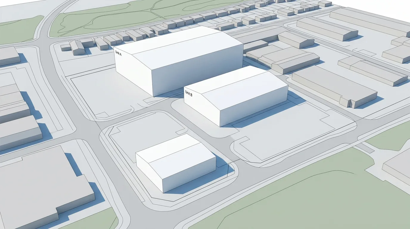
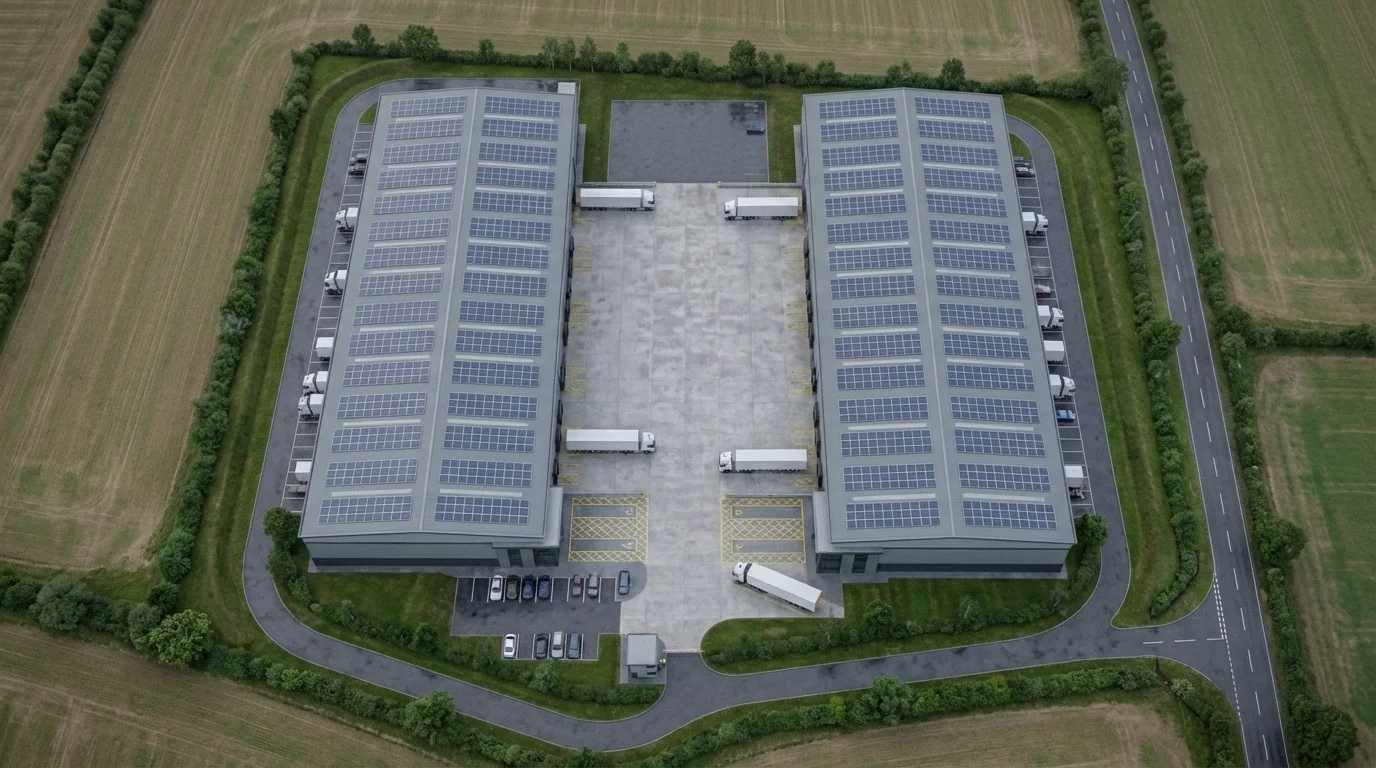
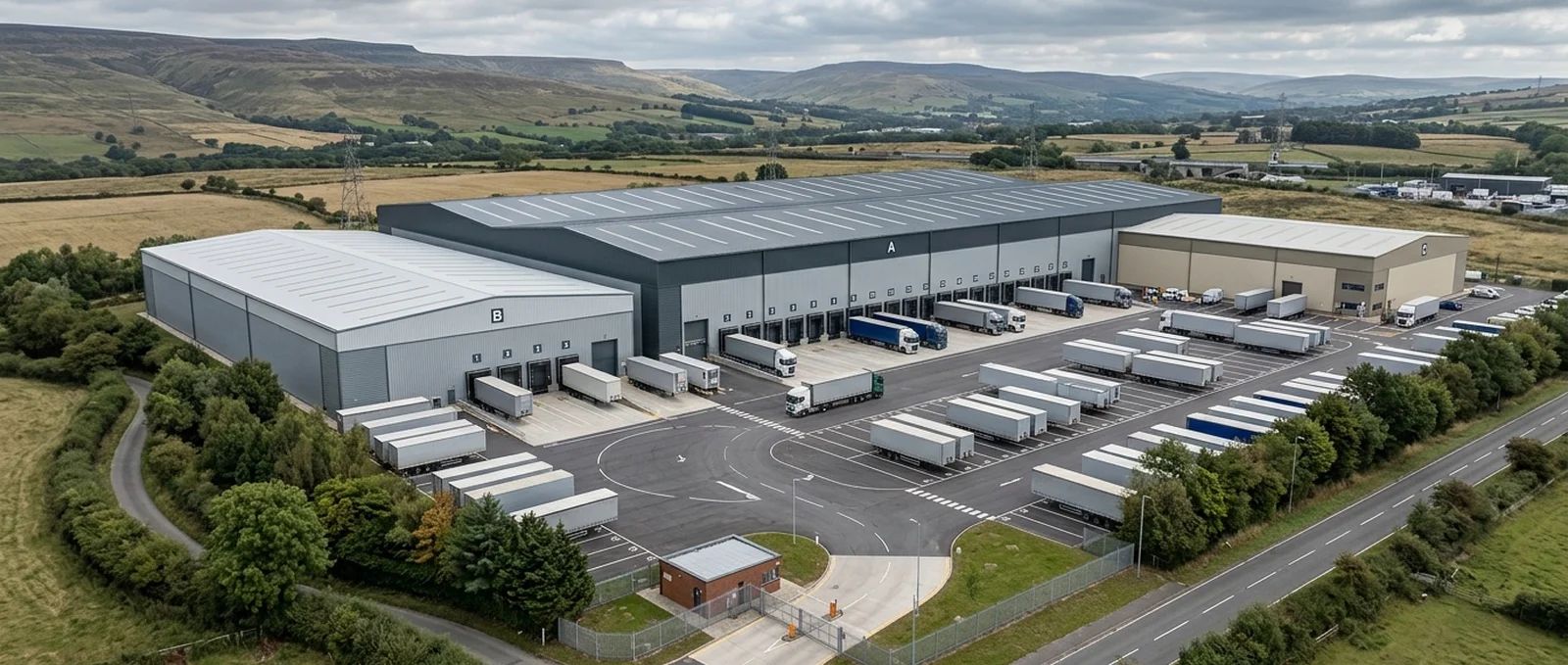
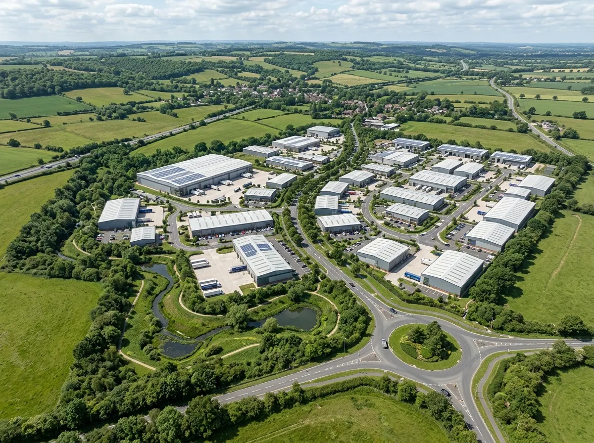
Each gallery frame is built from the model behind the submission drawings, so an officer can check any still against the elevations already on file. Those same stills then face the consultees who test the scheme's operational impact.
A logistics scheme presents an operational footprint that case officers and consultees scrutinise beyond the shed itself. HGV movements, landscape screening, big-box massing, and night-time lighting each attract a named consultee, and each needs a still that presents it honestly.
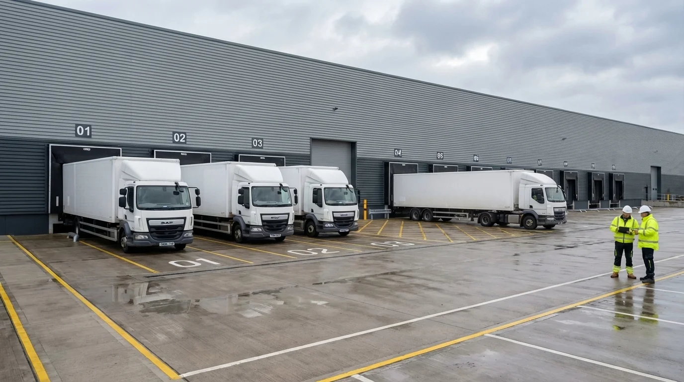
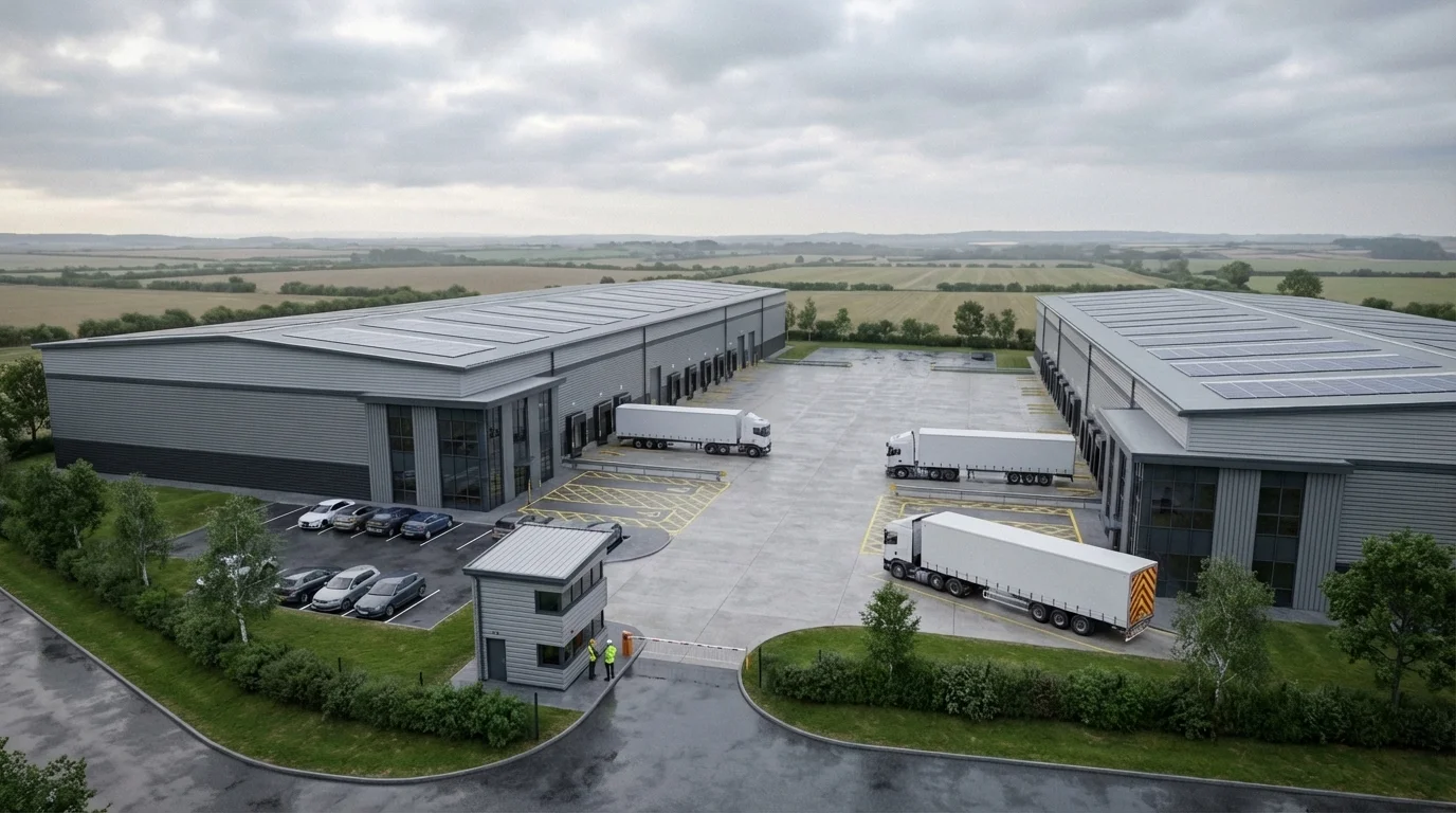
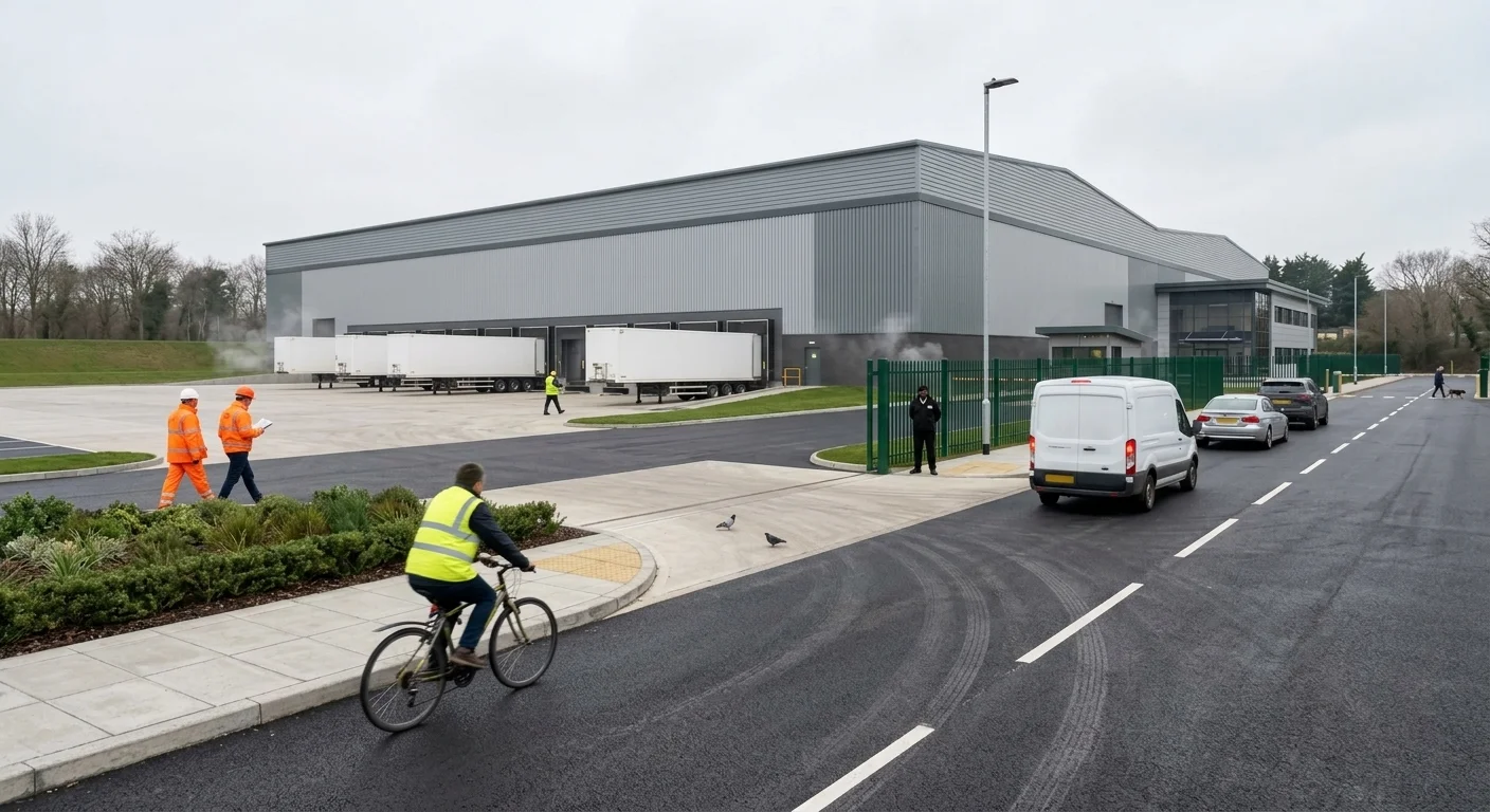
The service yard is documented as designed, with docks, trailer parking, and circulation visible rather than framed out.
Three drivers decide most logistics applications. The cards set out what each consultee reads and the view that answers it.
HGV movements and haulage routing
Highways officers and parish councils read trip generation, access geometry, and routing past residential edges. A yard and entrance still at true scale answers both tests in one frame.
Landscape screening and bunding
Landscape officers read bund profiles, planting structure, and screening maturity against nearby receptors. A boundary still from the receptor side shows the mitigation the section drawing only implies.
Big-box massing and height
Eaves height and unbroken roof planes carry the visual-harm argument on open land. A massing still from a public vantage shows the bulk the parameter plan fixes.
Night-time lighting is the fourth driver, and one honest night still says more than a sequence. Officers and residents read spill light, dock luminaires, and 24/7 yard lighting against dark rural skies, and a dusk frame records those sources as specified rather than dimmed for effect. Leave any of these drivers undocumented and the objection lands on the drawing set instead, where it is harder to answer.
Landscape screening is tested by officers at the day-one and designed-maturity horizons. Planting shown only at maturity overstates the near-term mitigation; planting shown only at day one understates the landscape strategy. The pack captures both horizons from the landscape drawings so the officer can weigh the interim condition honestly.
HGV objections are the most persistent line on logistics consultations, and they are answered with geometry, not assurances. Stills of the site entrance, internal circulation, and dock arrangement, built from the same vehicle tracking the transport statement uses, give consultees something checkable. Sector marketing and pre-let imagery sits separately on the warehouse CGI for logistics schemes service page.
The gallery gathers the scrutiny points into one proof set, covering the site entrance, night lighting, hub massing, the townscape relationship, and the human-scale edge.
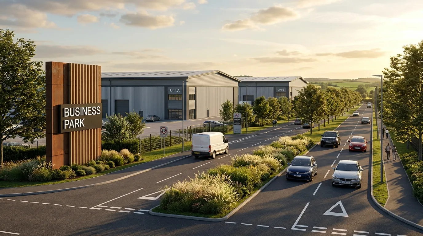
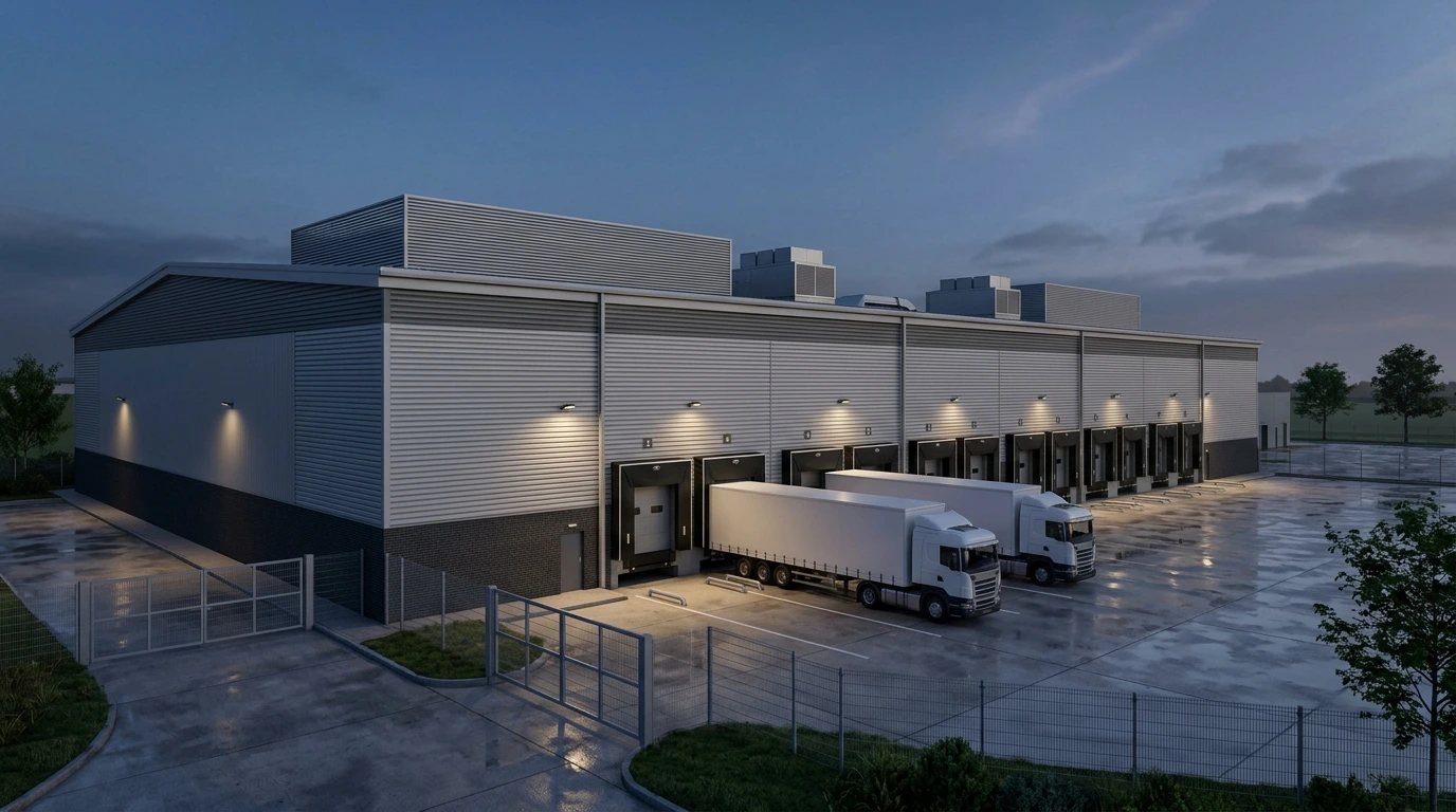
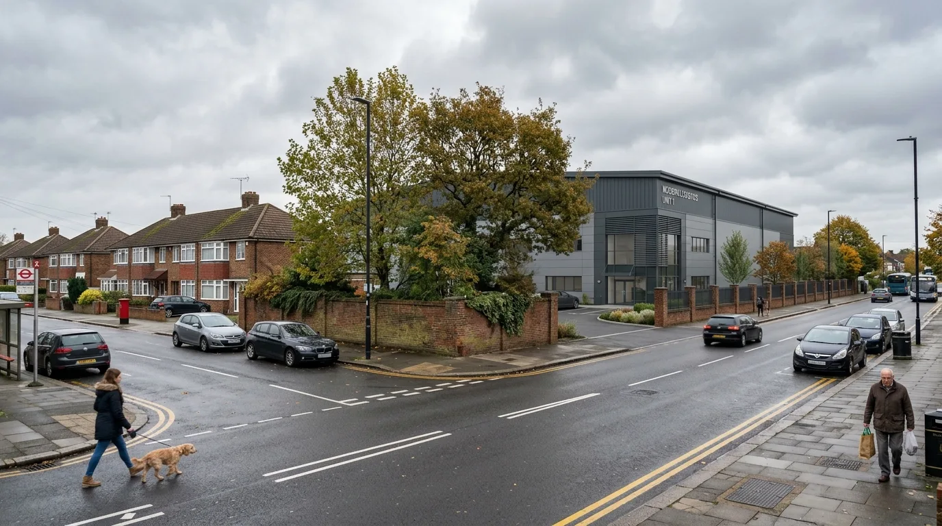
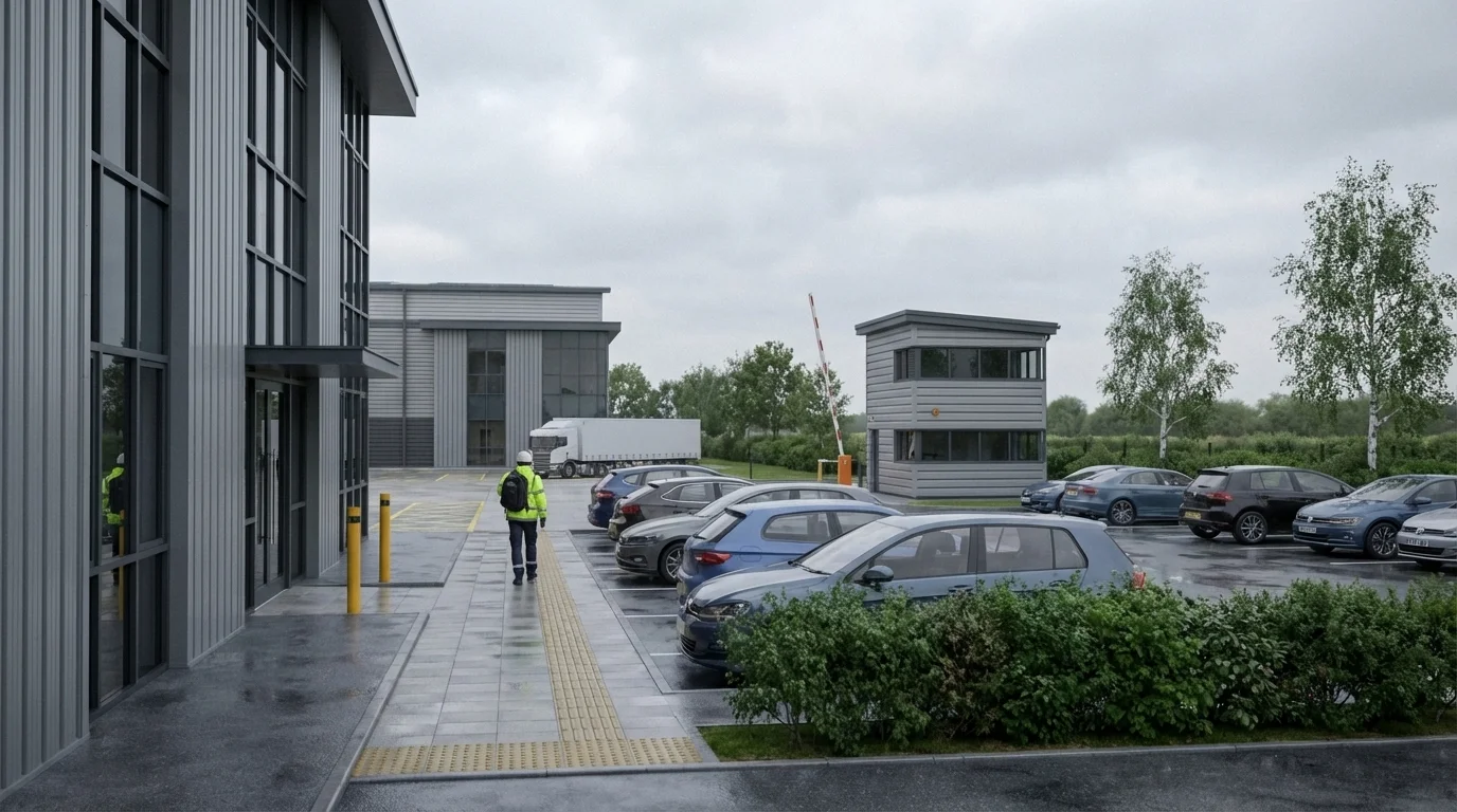
Every frame in the gallery is drawn from the application model, so the scrutiny answer and the submission drawing never diverge. On grey belt sites, those operational views also support evidence used to weigh openness, screening, and visual harm.
Grey belt releases for logistics development are decided on openness and visual harm under the National Planning Policy Framework of , which opened grey belt land to logistics development. The visual test precedes the policy test. The stills an officer or inspector sees have to show the scheme's true spatial effect on the gap, not a softened version of it.
The pair below is a first-party StratumCGI photomontage study of a distribution centre, shot and matched from one viewpoint. It shows how the format records change in openness on grey belt land.
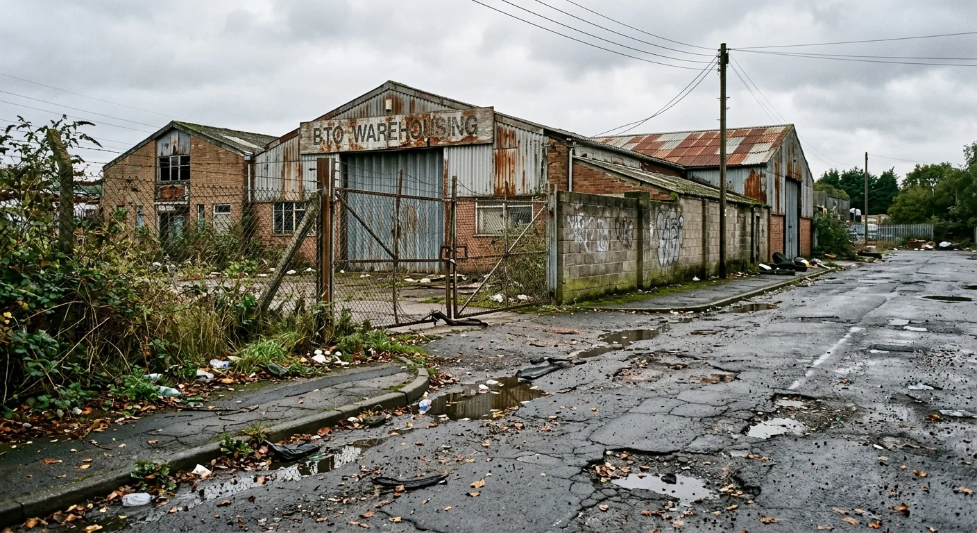
The before view records existing openness from the fixed viewpoint as surveyed.
The after view places the proposed massing at true height and position in the matched viewpoint.
Used honestly, the matched-viewpoint format lets an officer weigh the spatial change directly; used loosely, it becomes the first document an objector challenges.
The policy ground is still moving. A draft redefinition of grey belt land was published in , and Wrotham Parish Council v SSHCLG [2026] EWHC 165 has tested how the grey belt tests are applied. The visual-harm standard those decisions rest on stays constant. The imagery must match the survey and the drawings.
Live work proves the standard. The Golden Triangle Big-Box Logistics Park commission (SCGI-001) is documented in the Golden Triangle logistics park case study.
The Logistics Planning CGI Pack bundles the stage deliverables above into one fixed scope, quoted per scheme and fixed against the decision date you name.
Logistics planning pack
What the studio delivers
The pack provides one coordinated set of planning-grade stills from a single model. It includes massing and aerial context views, service yard and entrance frames, night-time lighting stills, landscape screening and bunding views at both maturity horizons, and committee-pack short-read frames.
Scope and pricing path
Quoted per scheme
Logistics packs are quoted per scheme because each scheme's eaves height, viewpoint count, and screening maturity change the modelling hours and camera set the pack needs. Where a broader industrial benchmark helps, the published industrial CGI pricing page sets the frame before a fixed quote is confirmed.
Deadline discipline
Fixed against your date
The pack timetable tracks the decision date you name, whether that is the pre-app meeting, the consultation print, or the committee agenda. Delivery is confirmed against that date before production starts.
A logistics planning brief should include drawings, the eaves height, and the decision date the pack must hit.
Logistics developers and promoters, planning consultants, and masterplan architects instruct the pack. It is commissioned against four input groups. Supply them complete and the quote is fixed; supply them late and the decision date absorbs the rework. The wider commissioning frame sits on the planning application CGI hub.
The checklist is the minimum set a logistics pack is built from.
With those four inputs on file, every still in the pack traces back to a document the officer already holds, which is the accuracy standard the decision date depends on.
CGI for logistics development planning applications is computer-generated imagery produced as evidence for the planning determination of a logistics development scheme. It is a specialist branch of planning application CGI, which is itself a branch of industrial architectural visualisation, distinguished by the decision stage it serves rather than the polish of the image.
Two boundaries keep the category honest. Against marketing CGI, planning-grade stills keep massing, yards, and lighting tied to the drawings, where marketing imagery is free to soften them for a pre-let audience. Against AI-generated imagery, uncontrolled generated images invent geometry and context that cannot be reconciled with the application file, so they do not substitute for planning-grade stills on a live submission.
CGI for logistics development planning applications
Massing, service yard, screening, and lighting stills prepared from your GA drawings, site levels, and viewpoint schedule, fixed against your decision date.