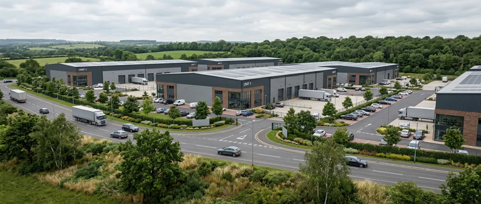
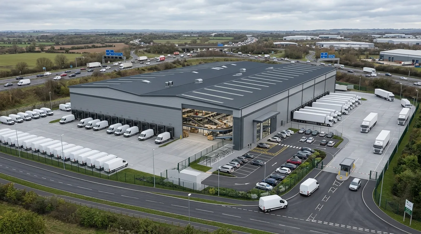
StratumCGI produces CGI for planning applications on industrial schemes. Officers, committees, and consultees inspect massing, access, and mitigation on those stills before a costly council date is lost.
Industrial warehouses, data centres, logistics parks, BESS compounds, and substations require planning-grade stills, not marketing gloss. Request a Pre-App Pack or send drawings for a deadline check.
Decision stages
Pre-app, full submission, committee, consultation, viewpoint stages.
Pre-App Pack
From £8,950 · up to three images · 10 working days.
Industrial scope
Warehouse, data centre, BESS, substation, cold storage, last-mile.
Next step
Send drawings for a fixed pack quote before your council date.
Planning CGI services: packs, prices and turnaround
StratumCGI produces planning CGI as fixed-scope packs with a published fee and a named deliverable list. The pack timetable tracks the council date. Prices below are ex VAT.
Pre-App Pack
From £8,950 ex VAT
Scope
Up to three planning-grade CGIs from supplied scheme information.
Timetable
Ten working days from approved brief to delivered files.
Default exclusions
Formal LVIA-viewpoint survey and verified-view methodology work route separately.
Note
If additional information is needed, scope and fee adjust on enquiry.
Choose the standard path when the drawings are stable and there is a working-day buffer before the council date. Choose a rush window when the meeting is imminent and capacity is confirmed the same day.
Either way, three things get confirmed before production starts: the inputs are complete, the viewpoints are agreed, and the scheme is not still being redesigned. A rush window also needs the brief signed off inside the first twelve hours and a hard design freeze after it, because any change to the scheme voids the window.
Send drawings now if the council date is fixed. StratumCGI will confirm pack fit, rush eligibility, and the fixed fee before production starts.
Send a planning CGI brief
Include drawings, the council date, and whether the enquiry is for a Pre-App Pack or a deadline check.
What is in a planning CGI pack, and how it is built
A planning CGI pack is one coordinated set of images built from a single model of your scheme. Six output types serve the submission, the public consultation, and the committee, and every one of them answers to the same elevations and red line. That single-model rule is what lets a case officer check any frame in the pack against the drawings already on file.
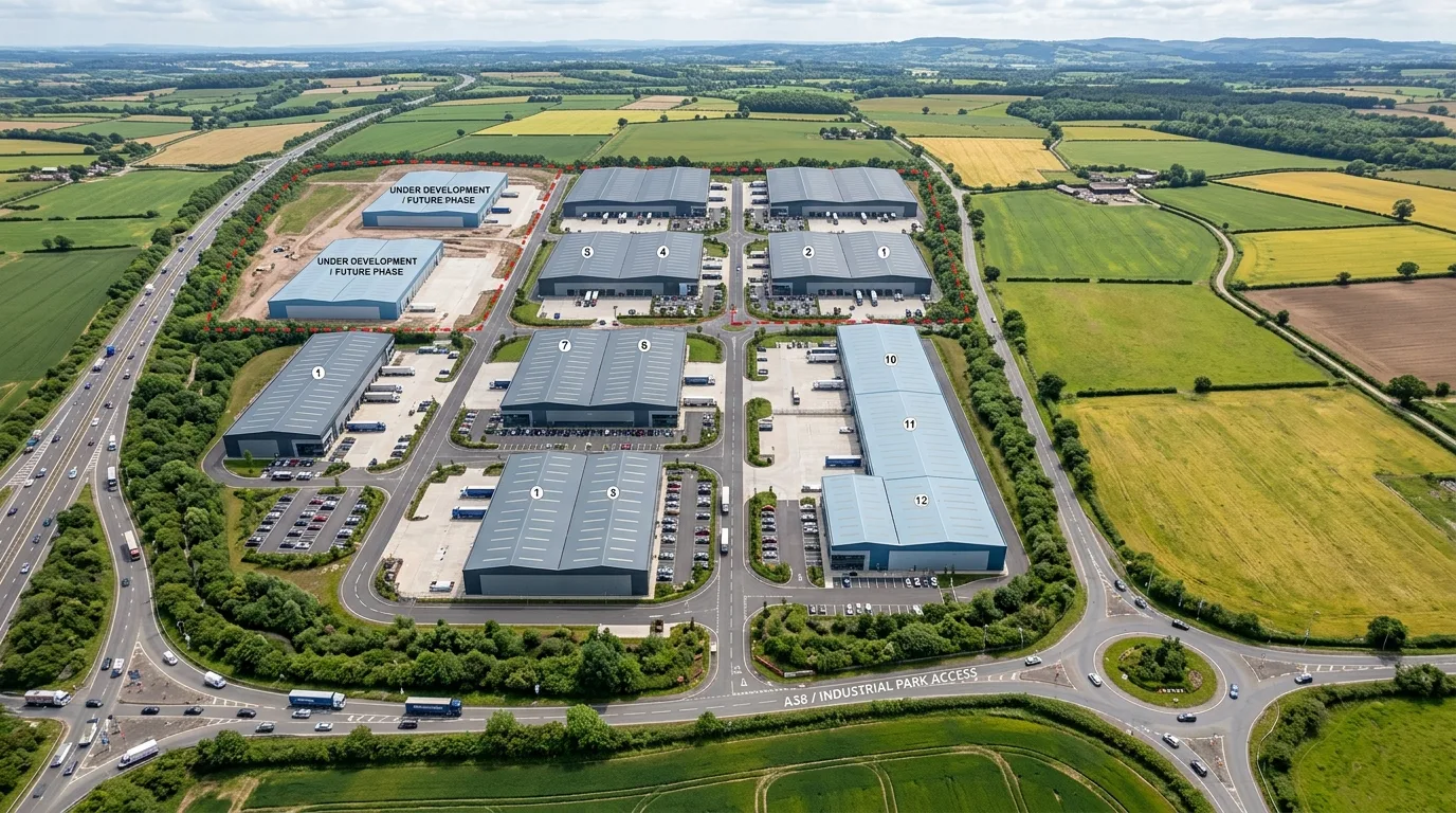
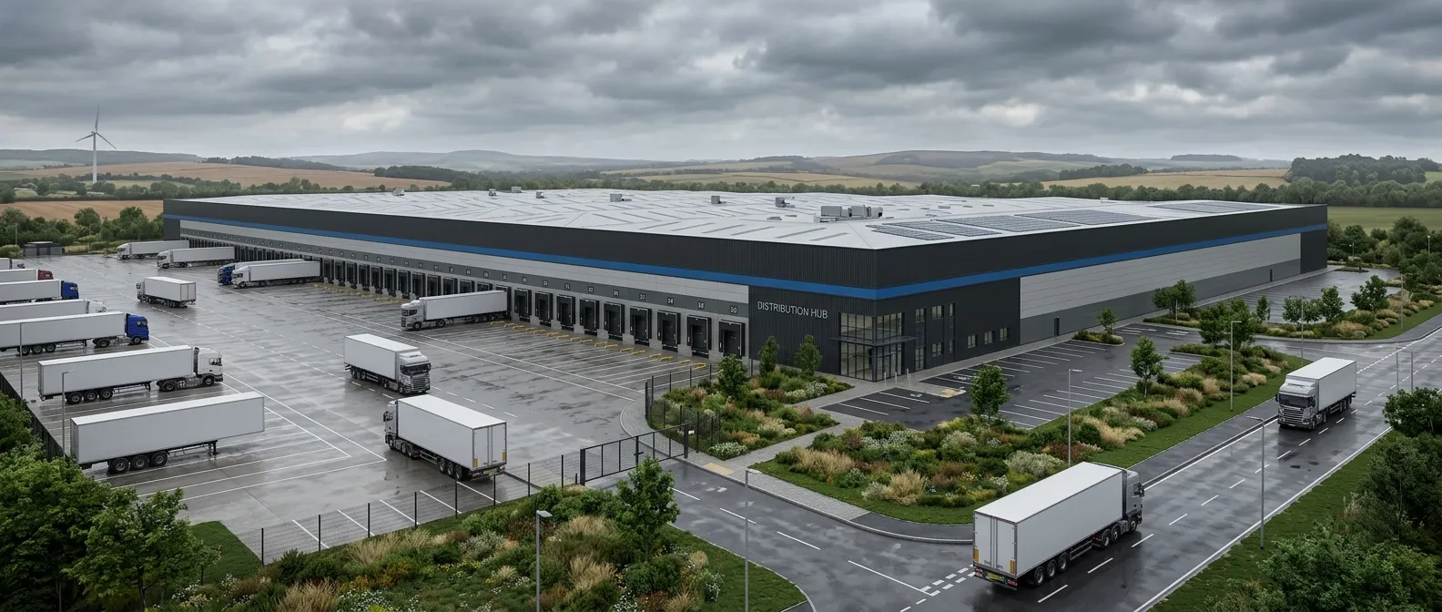
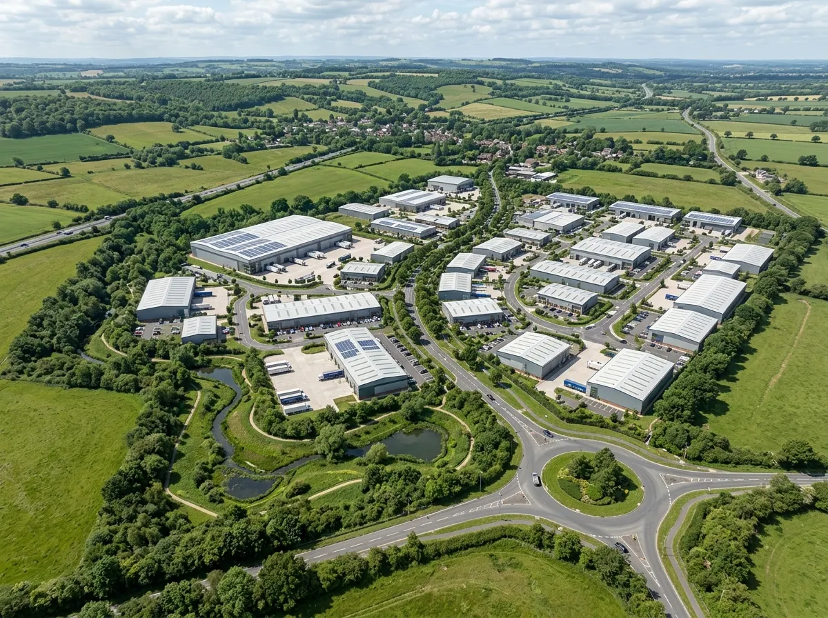
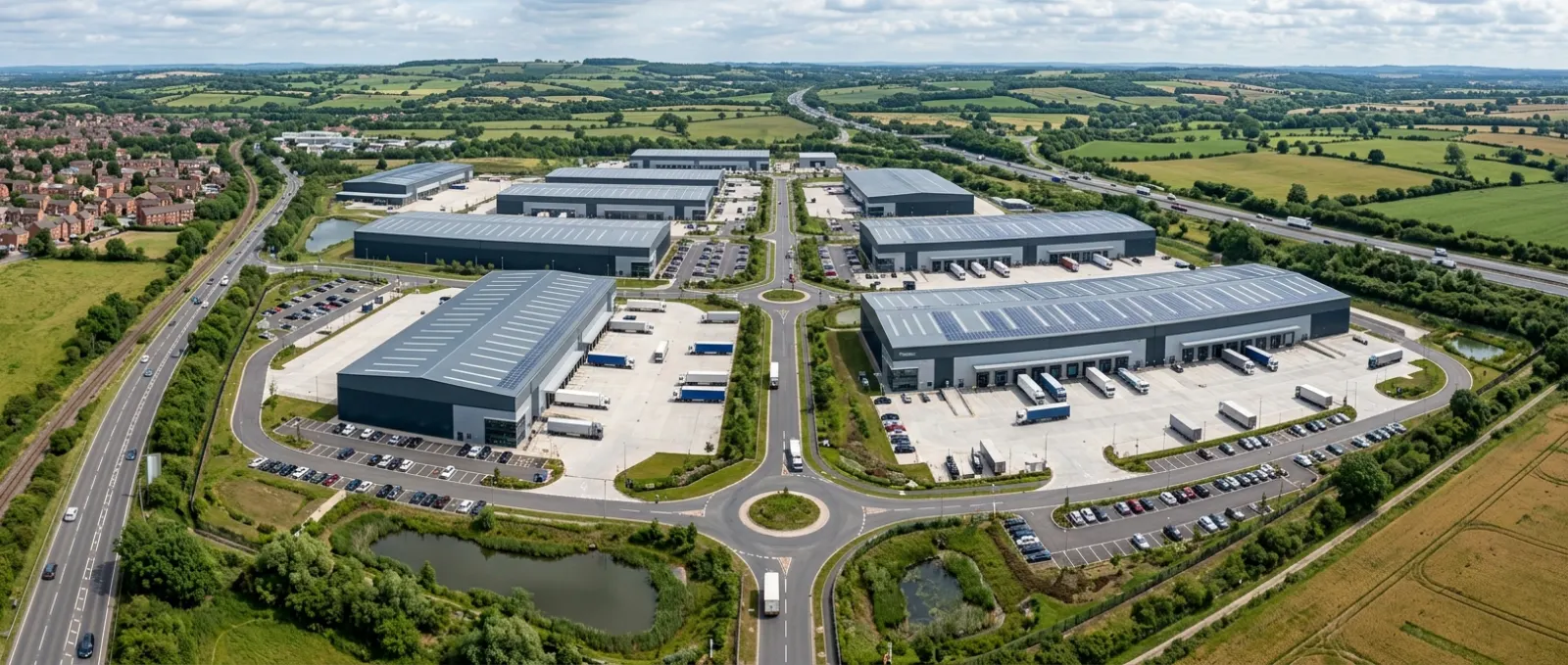
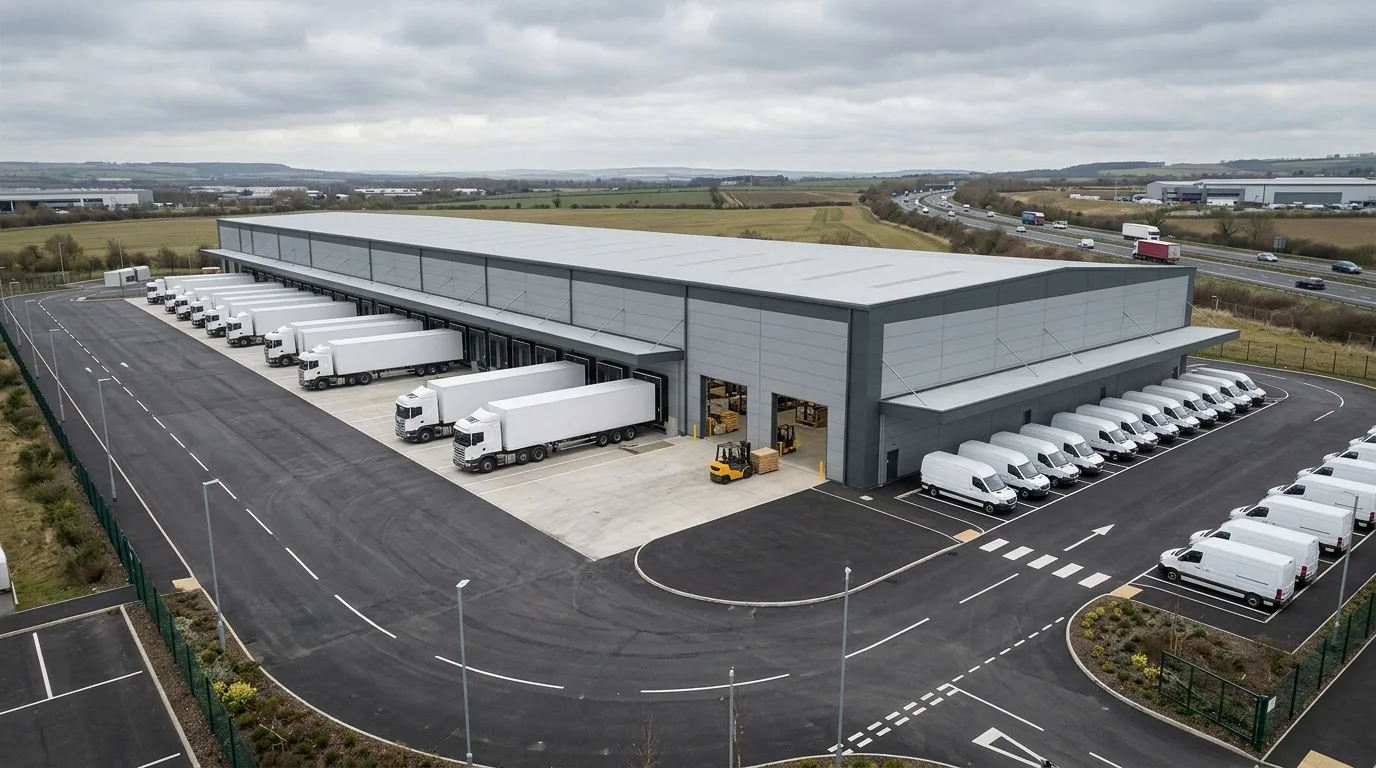
Planning-stage aerial context still: massing, yard logic, and surrounding context in one officer-readable frame.
The six output types
Planning stills
Planning stills are the submission images officers compare with the elevations and the red line. They sit on the agreed viewpoints from the scheme drawings.
Aerial context views
Aerial context views place the scheme among its neighbours, phasing, and yard. A case officer or committee member inspects site coverage in one frame.
Street approach views
Street approach views document the building from a receptor-facing camera on the public realm. Officers inspect height, access, and edge treatment on that sequence.
Consultation boards
Consultation boards carry height, access, and mitigation into public exhibitions and community sessions. Residents inspect the same model as the submission set.
Committee-pack stills
Committee-pack stills report contested edges and access to members in short reading time. They come from the same planning model as the submission set.
Boundary and mitigation views
Boundary and mitigation views match fence lines, planting screens, and acoustic bunds to the landscape drawings. Officers inspect those edges on the file.
How grey model views become colour planning stills
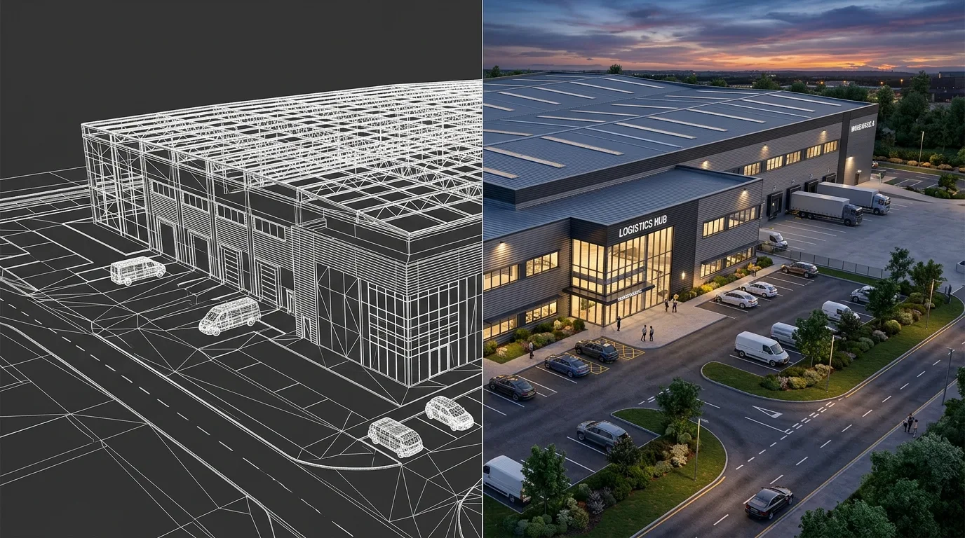
The pack is built in two passes on one set of cameras. StratumCGI locks the cameras on the grey planning model first, then applies the material schedule and daylight to those same cameras. This warehouse set is one industrial example of that sequence.
The elevations, red line, and viewpoint schedule fix where each camera sits and what it has to show. At this stage the geometry carries the argument on its own: massing, yard depth, and access read against the drawings before any cladding or planting exists to soften them.
1. Grey model views lock the six cameras and warehouse massing to the scheme drawings.
Only once the grey set matches the drawings does the material schedule come in: cladding, yard surfaces, planting, and daylight, taken from the material and landscape drawings. Materials never move a camera or change massing. That constraint is the point of working this way, because the colour pack an officer receives then sits on geometry that was already checked in grey.
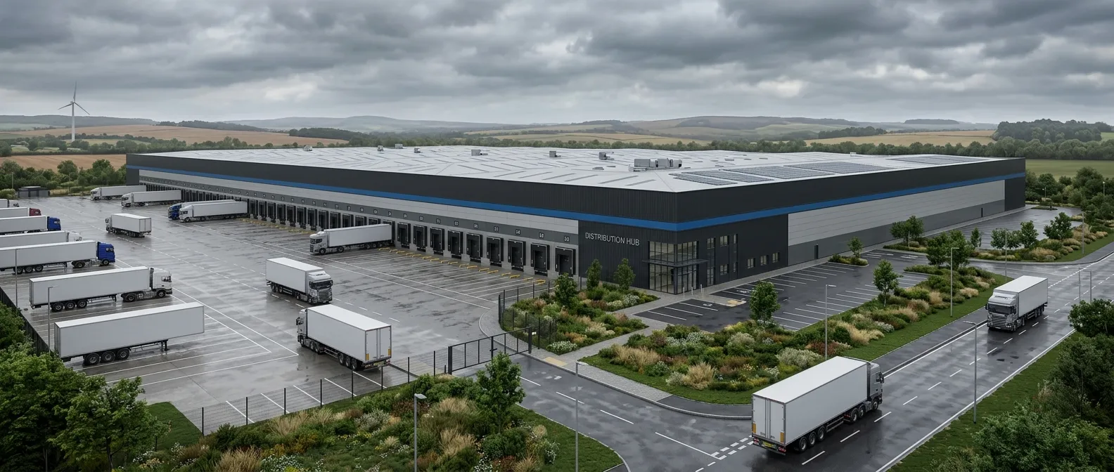
2. Colour planning stills keep those cameras after the material schedule and daylight are applied.
Marketing gloss fails at exactly this point. Softening a height, hiding plant, or inventing landscape breaks the tie between image and drawing, and an officer holding both will find it. The two-pass build is what makes planning-grade accuracy something you can check rather than something a studio claims.
Warehouse old-to-new process film
The 12-second aerial clip below shows the same industrial warehouse from existing condition through mid-works re-clad and road works to the completed Grade A scheme. Use it as a silent process film for pre-app, submission, and committee packs.
Planning CGI process film: existing warehouse condition, mid-works re-clad and road infrastructure, then the completed scheme. Silent short-form aerial sequence for pre-app, submission, and committee packs.
Consultation boards, approach and neighbour-facing stills
Residents and consultees
Viewpoint / LVIA support stage
Named viewpoints only; formal survey method routes separately
Landscape consultant / officer
Investor or board handoff
Selected planning stills reused into board packs
Client board / funder
Planning stills, aerials, boards, and committee frames are the pack StratumCGI produces for a live application. A named council date then commissions that pack.
What to send us before we quote?
Send a site plan with the red line boundary, elevations, and GA drawings. Send the material schedule, site levels or a topographical survey, and any agreed viewpoint schedule. StratumCGI quotes from those files because an officer will check the same set. Incomplete inputs create rework and remove rush eligibility. The same input pack feeds the five-stage industrial CGI process.
→Site plan with red line boundary for the application area.
→Elevations for each principal facade that appears in requested views.
→General arrangement (GA) drawings for layout, docks, and plant zones.
→Material schedule for cladding, roof, and boundary treatments.
→Site levels or topographical survey where ground form affects massing.
→Agreed viewpoint schedule when consultants have locked camera positions.
Viewpoint schedule
A viewpoint schedule is the consultant-agreed list of camera positions the visual set must cover. StratumCGI treats a supplied schedule as a production constraint. Every listed viewpoint is in scope or explicitly excluded before the fee is fixed. Without a schedule, the brief agrees viewpoints against receptor risk and officer inspection points.
Hitting your council date
Five dates set the deadline on an industrial scheme: the LPA pre-application meeting, the validation cut-off, the committee agenda lock, the consultation print date, and the signed viewpoint schedule. Whichever one you are working to, the pack has to land before it.
Council dates that commission a planning CGI pack on an industrial application
Council date
What the date commissions
If the pack misses that date
LPA pre-application meeting
Massing, access, and neighbour stills the officer inspects in the advice session
The meeting runs on drawings only, so height and neighbour relationship go unread in the room
Submission cut-off and validation list
Stills that match the red line, elevations, and material schedule
The officer reads a set that does not match the file, or the application sits invalid where CGI is listed
Committee agenda lock
Short-read stills of contested edges and access for members
Members decide from the officer report without seeing the edge that attracts objection
Exhibition or leaflet print date
Boards that carry height, access, and mitigation from the same model as the submission
Residents meet a marketing board, or no board, after print has closed
Viewpoint schedule sign-off
Stills from the consultant-listed cameras
The LVIA pack and the CGI pack document different cameras
Miss the date and you lose the meeting, or the file carries a set that no longer matches the scheme. Fixed-deadline packs exist so that does not happen.
Committee agenda lock
The committee agenda lock commissions short-read stills of contested edges and access. Members have minutes, not a site visit, so the stills drop competing detail and leave access geometry and the objection edge readable. StratumCGI produces those stills from the same planning model as the submission set.
Consultation print date
The exhibition or leaflet print date commissions the boards. After print closes, the boards cannot change, so captions carry height, access, and mitigation from the same model as the submission rather than a sales brochure voice.
Validation-list CGI requirement
Some local planning authorities list visual material on validation lists for major development. Where an LPA lists CGI, the stills remain tied to the red line, elevations, and material schedule on the application. Planning Portal is the lodgement route; the validation list is the local document checklist.
Plot-to-operational process film
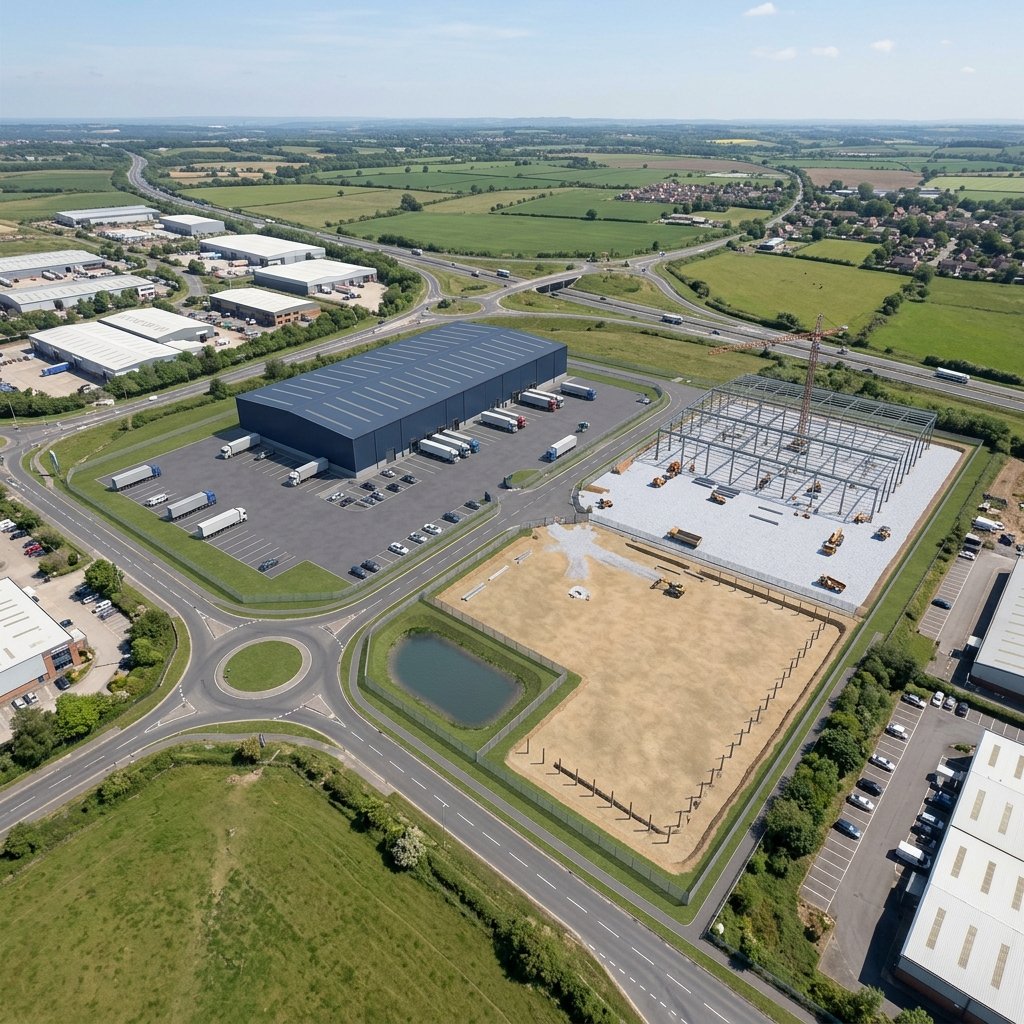
The 10-second aerial clip below shows a cleared industrial plot, steel frame and cladding under construction, then the completed operational warehouse with dock face, solar roof, and yard. Silent short-form evidence for pre-app, submission, and committee packs on a fixed council date.
Planning CGI process film: cleared plot, mid-build steel and cladding, then operational warehouse with dock face, parking, and solar array. Silent short-form aerial sequence for pre-app, submission, and committee packs.
Industrial schemes we have visualised
These are first-party StratumCGI commissions, each published under the studio's anonymisation policy with a reference number that opens the full project record. Client names and planning authorities stay withheld by agreement. The scheme type, the stage the imagery served, and the views delivered are all on the record.
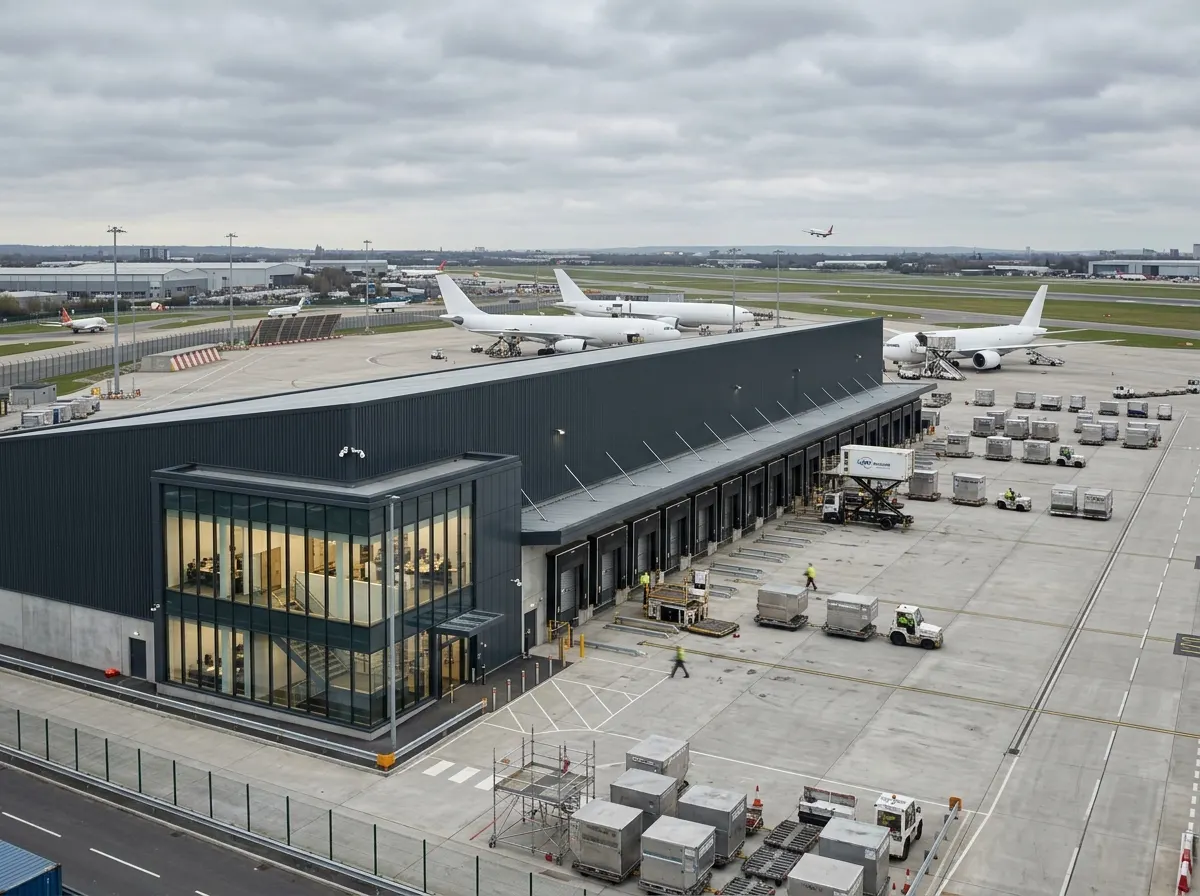
SCGI-006 Urban edge last-mile depotPre-application. Street-level frontage and loading-area views showing van circulation and separation.SCGI-005 West Midlands distribution warehousePlanning and leasing. Principal elevation stills and yard-level views with dock levellers and trailer parking.SCGI-008 Regional air cargo terminalInfrastructure planning. Apron-edge views of cargo handling and bay configuration, plus landside access.SCGI-010 Strategic employment land masterplanLand promotion. Aerial CGI of the allocation, phase diagrams, and site-wide stills with landscape buffers.SCGI-011 Central Belt distribution centrePlanning and occupier marketing. Estate road approach, elevation and yard stills, park-edge boundary views.SCGI-004 North West logistics hubMarketing and planning. Masterplan aerial with HGV circulation, elevation and service yard stills, gatehouse views.SCGI-009 Light industrial estate, Bristol urban edgePlanning and investor presentation. Estate context and unit-level stills for a light industrial allocation.
A case officer inspects a different edge on each industrial typology, so the viewpoints that matter change with the building. These six are the ones StratumCGI is briefed on most often.
Warehouse and logistics
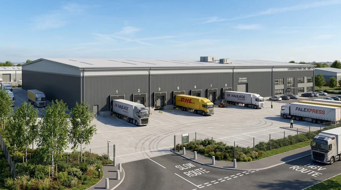
Dock rhythm and yard depth are the two things a 2D plan understates. The pack answers with a dock elevation set in real context, and yard stills shot at a height where swept paths actually read.
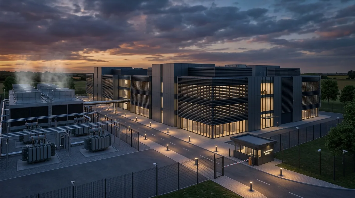
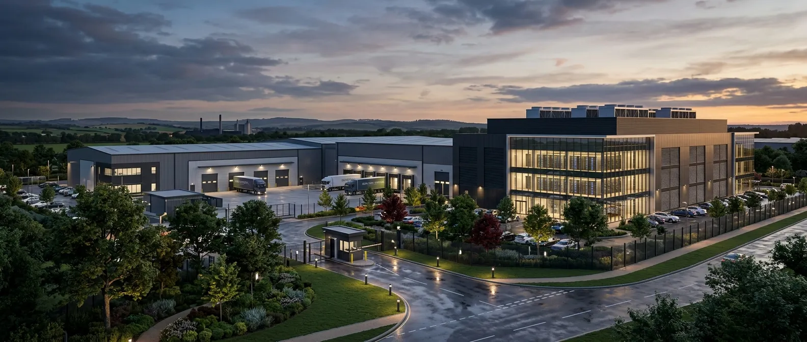
Objections here land on the plant, not the shed. Campus massing frames put the security perimeter and screened plant against neighbouring receptors, which is the comparison a case officer makes.
For the decision stage, see CGI for data centre planning applications; for campus-scale packs and full facility packages, commission data centre and MEP visualisation.
BESS and substation
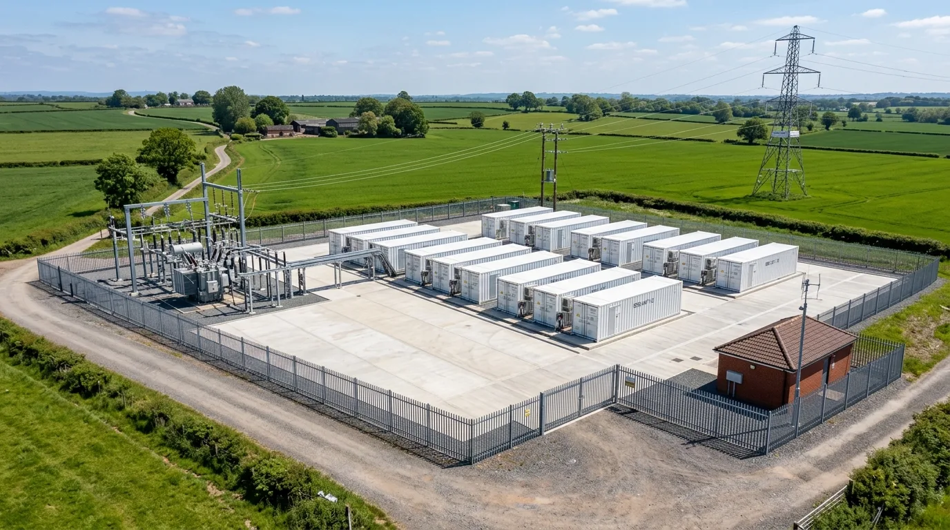
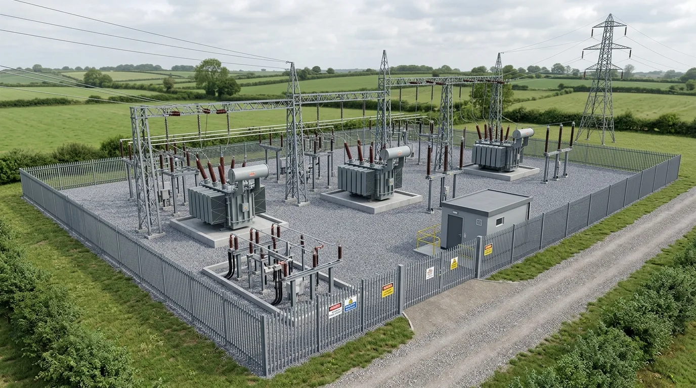
Container rows and fire separation get misread from a layout drawing alone. Compound stills make spacing, perimeter, and screening explicit at ground level.
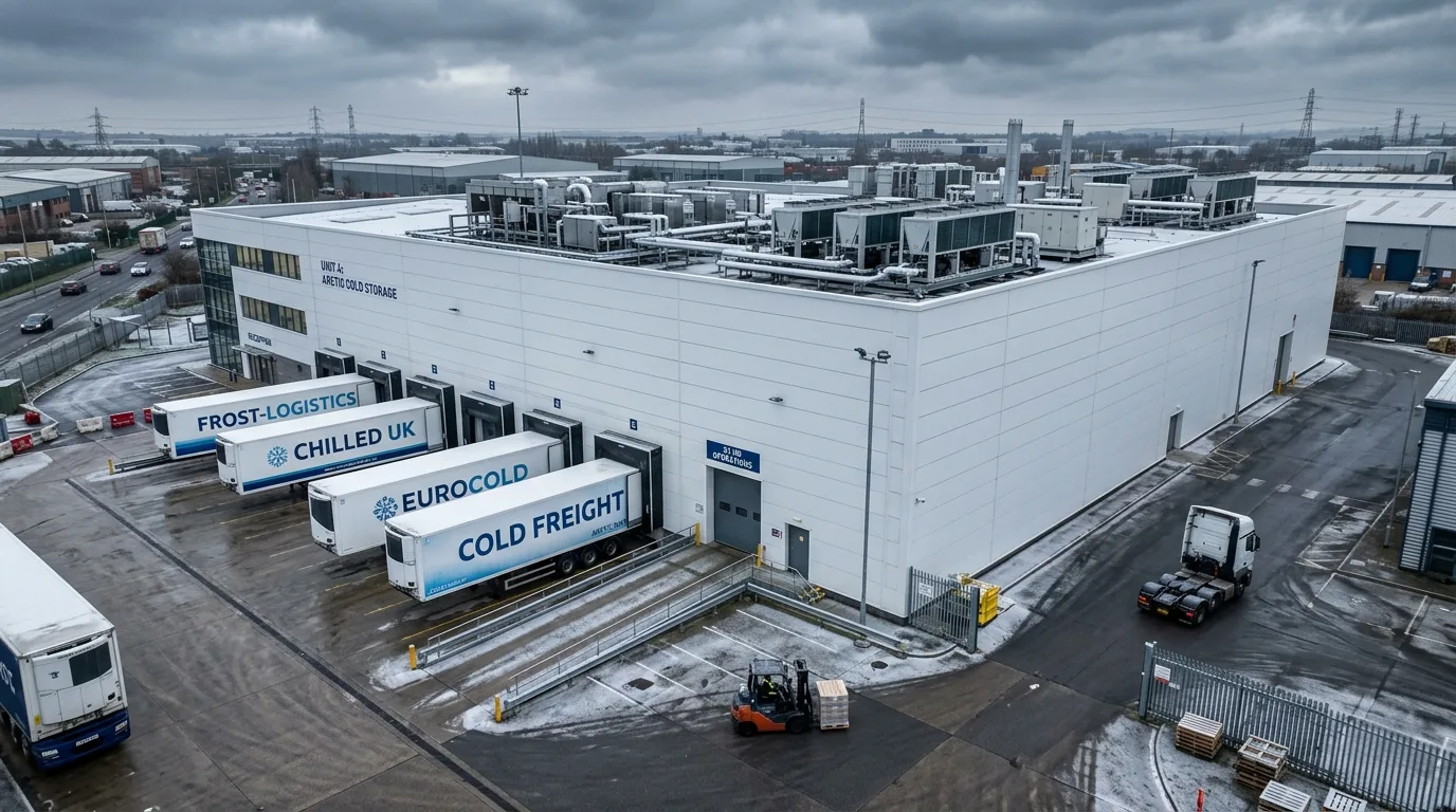
A cold store stands taller than its neighbours and its dock canopy runs deeper. Approach and boundary stills document that height as it is, instead of flattening it.
Cross-dock flow and trailer parking are what inflate site-coverage arguments. Aerial context tied to the general arrangement, plus dock-court stills, keeps that argument on the drawing.
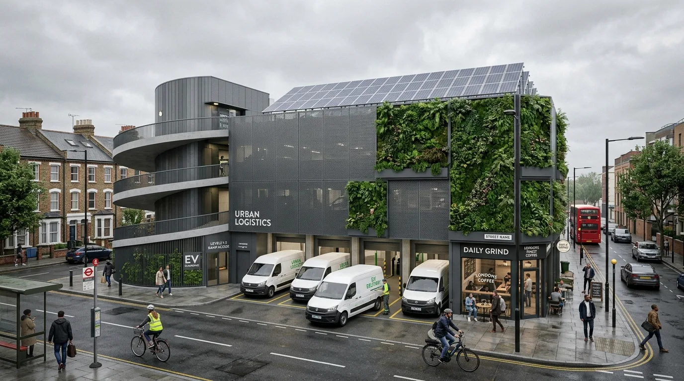
Urban edge sites draw objections on noise, access, and sheer proximity to neighbours. Street approach and boundary mitigation stills are built for the consultation pack rather than the submission.
Officers inspect dock face, HGV turning geometry, swept path clearances, plant screening, boundary fencing, and receptor views on every typology. Planning CGI renders those details legible at the agreed camera height and distance.
What each typology looks like at planning stage
Warehouse dock faceDock elevation and yard depth held in site context.Data centre campusCampus massing with plant zones screened from receptors.BESS compoundContainer rows with perimeter and separation legible.Substation edgeTransformer compound with its screening strategy visible.Cold storage envelopeTall insulated envelope and dock canopy at true height.Cross-dock courtsDual dock courts drawn to the general arrangement.Last-mile urban edgeStreet approach on a neighbour-sensitive boundary.Fulfilment massingOperational bulk with plant and docks kept honest.
One frame per typology, so the differences in massing, yard, and edge treatment are visible side by side. Named project records with stages and delivered views sit further up under the schemes we have visualised.
Planning CGI vs verified view vs photomontage vs marketing CGI
Planning CGI, a verified view, a planning photomontage, and marketing CGI answer different planning questions. Route by the question on the file. Verified-view and photomontage method lives on the specialist child page.
Planning CGI
This page · request a pack
Commission this pack when pre-app, submission, committee, or consultation requires planning-grade stills from drawings.
Route to marketing CGI when pre-let, occupier launch, or brand storytelling starts after planning risk is controlled.
A brief that mixes planning accuracy and marketing reuse starts with planning-grade stills here. Plan a controlled reuse path after the planning set is stable.
AI imagery, and reusing planning CGI for marketing
Two questions come up on almost every industrial brief: whether AI imagery will do the job, and whether the planning set can be reused to market the scheme later. The answers differ, and both turn on what an officer is able to challenge.
Accuracy evidence path: model structure remains tied to supplied drawings before final materials and light are applied.
Can you use AI images for a planning application?
Open the AI imagery honesty note⌄
Uncontrolled AI images often invent geometry, materials, or context that cannot be reconciled with the application drawings. StratumCGI does not substitute that class of image for planning-grade CGI on live submissions. Where AI tools assist production, the deliverable still has to match the client drawings and agreed viewpoints.
Reusing planning CGI for marketing
Planning stills can become later marketing crops when the scheme is stable. Campaign packaging, pre-let narrative, and launch assets belong on the industrial property marketing imagery service. Hold planning and marketing jobs on separate briefs so officer-facing accuracy is not traded for sales polish.
Planning application CGI explained
What is planning application CGI?
Planning application CGI is computer-generated imagery produced as evidence for a planning application or pre-application. On industrial schemes it documents warehouses, data centres, logistics facilities, and energy infrastructure at true massing, so officers and consultees meet the building in its real context rather than on a plan.
Validation lists that list CGI
Some local planning authorities put visual material on the validation list for major development. Where that floor applies, the images have to track the red line, the elevations, and the Design and Access Statement narrative.
A Pre-App Pack is a fixed-scope set of planning-grade CGIs, typically up to three images from the drawings and schedule you supply, delivered in ten working days from approved brief, from £8,950 ex VAT. Scope excludes formal LVIA-viewpoint survey work by default. If additional information is needed, scope and fee adjust on enquiry.
How much does planning CGI cost in the UK?
⌄
StratumCGI Pre-App Packs start from £8,950 ex VAT for up to three planning-grade CGIs on a ten working-day path. Pre-App Rush adds £3,000 for 48-hour delivery or £2,000 for 72-hour delivery on eligible briefs. Single additional planning views are from £2,500 when the model path is known. Verified-view survey work is quoted separately.
How does planning CGI differ from a verified view?
⌄
Planning CGI informs procurement and submission with planning-grade stills and boards. A verified view or planning photomontage follows an agreed survey and methodology route on StratumCGI's verified views page.
Related directory: the industrial CGI service hub. Related method page: verified views / AVR photomontage.
Commission
CGI for planning applications
Pre-App Packs, rush windows on eligible briefs, and industrial typology stills prepared from your CAD or BIM, elevations, and viewpoint schedule.